DOLA Webmaps
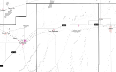
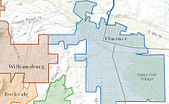 Municipal Boundary Map
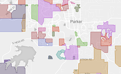 Special Districts Map
 COVID Map Series
Census and American Community Survey
 ACS 2015-2019
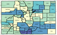 Census 2020 Data
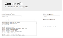 Query Data
 ACS 2014-2018
 ACS 2013-2017
 ACS 2012-2016
 ACS 2011-2015
 ACS 2010-2014
 ACS 2009-2013
 ACS 2008-2012
ACS 2007-2011
 ACS 2006-2010
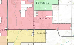 Census 2010 Data
Population
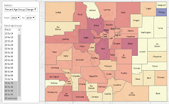 Population Change By Age:
1990-2050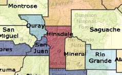 Population Change:
Births, Deaths, and Migration Colorado County Bracketology
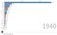 Historical Birthplace of Colorado Residents
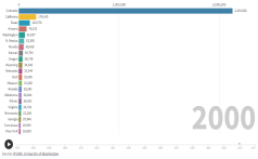 Historical Residence of Colorado Born
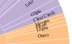 Animated Population Chart
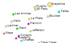 Colorado County Population
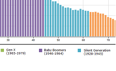 Age Animation
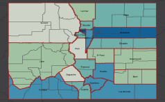 Historical County Populations
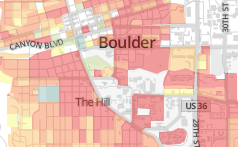 Population and Housing Density 2020
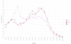 Age Distribution by County
Economic
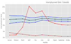 Unemployment Ribbon
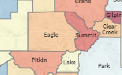 Job Sectors
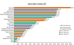 Job Sectors Chart
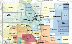 Unemployment Map
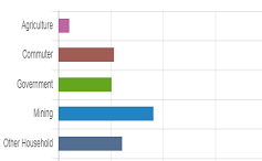 Jobs: Base Analysis
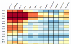 Colorado Counties Unemployment
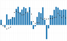
Job Change
 Job Migration
Income and Poverty
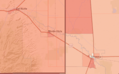
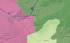 RUCA Urban-Rural Map
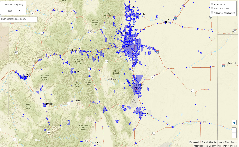 SRF Disadvantaged Communities
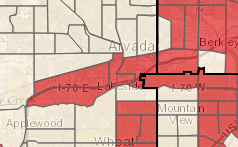 Low & Moderate Income (HUD FY 2019)
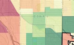 Poverty by Age
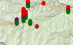 DOLA Grants Map